Since our first Town Council Meeting in January was canceled, our agenda tonight was lengthy. The meeting lasted past midnight, addressing multiple controversial topics.
On the consent agenda, we approved the contract for our annual repaving program. Portions of Moore St, Amherst, and Scotts Mill will be repaved this year. Check out our pavement survey to see where your neighborhood ranks for future prioritization.
We received a report on our annual audit. I often hear calls for an audit of the town’s finances; it’s actually a state law requirement for every government body to receive such an external audit annually. Our report was clean. We also discussed appropriate debt servicing levels. See the report here
Public Comment had numerous speakers, many voicing their support for an Oak tree on Hunter Street. There are currently no plans to remove the Oak tree. That sidewalk section is still in design. It was deprioritized and removed from our 23-24 project list nearly a year ago when the design constraints became apparent to staff so it didn’t slow down other segments.
Many argued that this sidewalk segment is unnecessary, claiming that sidewalks on one side of the street are sufficient and thus the project should be abandoned. I respectfully disagree, especially in a downtown area, and particularly within two blocks of a school. Just yesterday in Cary, there was a pedestrian fatality in a crosswalk, and two years ago, a child on their way to Friendship Middle was seriously injured in a crosswalk. Requiring pedestrians to cross the street multiple times to avoid gaps is not a solution, especially in high pedestrian and high traffic areas like the downtown core and near schools. We can do better. We will do better. We can move the street if necessary.
Moving on.
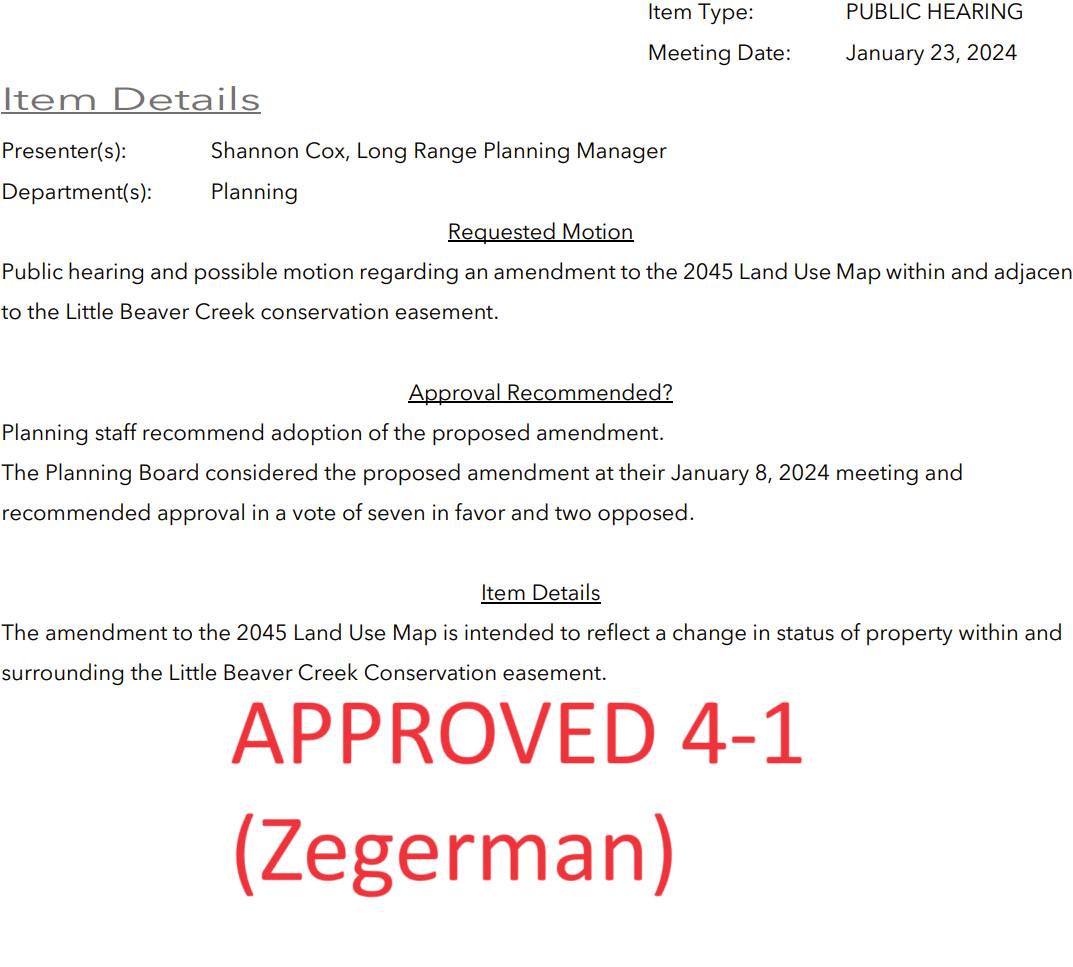
The next item was an administrative change to update our land use map, reflecting a conservation easement swap that occurred in the Friendship area. Here’s what I’ve learned: about 25 years ago, Richardson Road was added to an early version of our Long Range Transportation Plan (outlining a future road network across our entire planning area). Some property owners objected and advocated for an alternative route that didn’t intersect their property. Soon after a conservation easement was recorded over the proposed path of Richardson (DEQ has since revised their policies, preventing conservation easements that conflict with published municipal plans, but at the time, it was permitted). Over the next decade, negotiations with both the state and the property owner who recorded the easement took place. In 2016, both parties agreed in principle to allow the stream crossing and release that portion of the easement, after multiple studies concluded that the proposed path was the least environmentally impactful. The deal was finalized in 2021.
Our action this past Tuesday was not an approval of that deal—it had already been approved. We were simply updating a map to reflect the transaction. Not updating the map would not have nullified the transaction; we would have just been left an inaccurate map. A meeting and formal vote is required by state law for even minor changes to this map.
A few key points:
Our Long Range Transportation Plan includes a complete network of roads for the entire expanded area under our planning jurisdiction. The mere existence of a future road on this map does not indicate the town has any plans to acquire property for road construction. I do think there is significant misunderstanding on this point. This map serves as a guide for future development, allowing us to require developers to build parts of this plan, ensuring a cohesive and logical road network. Richardson Road is not unique in this regard; there are many future roads on this map. If you’re opposed to a road depicted in this plan, my advice is to refrain from selling your property to developers.
Our Transportation CIP documents the Town’s plans for future construction. Richardson Road is not there, neither as a plan within the 5-year horizon nor as a “future” project for the 5-10 year range. It will be built as development occurs. Or not.
The conservation swap agreed upon several years ago was a massive win for conservation efforts. There is a process for exchanging these easements, and it was meticulously followed over the course of a decade. It was agreed to by the property owner, and the state. The area newly designated for conservation is four times larger than the original conservation area. The Town of Apex contributed substantially towards additional conservation efforts. The final path for Richardson Road over this creek, determined a decade ago to be the least environmentally impactful, will be constructed to minimize impacts. This deal was endorsed by multiple agencies after a comprehensive review spanning years.
I’ll stress again we weren’t actually considering the swap itself, or voting on it.
The Land Use Map change was approved by a 4-1 vote, with CM Zegerman dissenting.
Arno Zegerman – Apex Town Councilmember also shared his perspective on this meeting, which you can read here